National Drought Information-Analysis Center
to provide information on drought conditions, forecasts and to support the decision-making process to ensure proactive responses
Go to check our system
Learn more about our process
Learn more about event
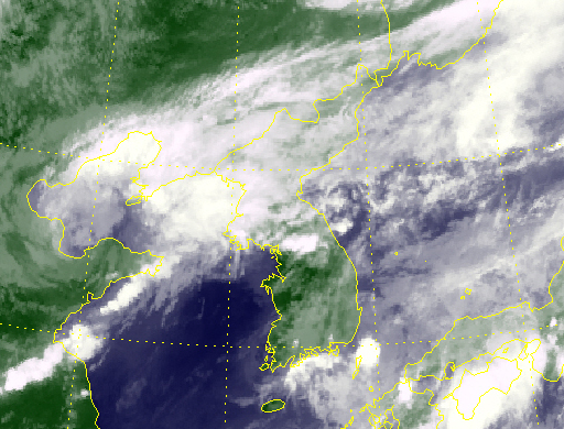
Provides geological information on the surface temperature of terrain, water bodies, etc using RGB images.
Provides drought map information based on national municipal administrative districts of various drought indices generated daily.
DroughtResponse
DroughtPolicy
Drought in East Asia